AirTower Mode: Autonomous hover. Zero GPS. Full control.
When traditional navigation systems fail, AirTower mode takes over. Designed for GPS-denied, jammed, or spoofed environments, AirTower mode turns your UAV into a stationary airborne sentinel — no GPS required. No matter what you're doing, your UAV hovers without drift.

positioning accuracy

single point positioning

Complaint
Mission-ready for multiple use cases

Persistent comms relay
Hover at altitude to relay radio signals over valleys, dense forests, or battlefield blind spots.

Perimeter surveillance
Keep aerial eyes on your base with zero reliance on ground towers or fixed infrastructure.

ISR operations
Hold position in contested airspace and gather continuous surveillance data.

Safety-first inspections
Get close to wind turbines, pipelines, or towers — without risking lives or signal drop.

Remote asset monitoring
Oversee vital infrastructure in deserts, oceans, or tundra with precise hold and wide-area coverage.

Search and rescue support
Provide a bird’s-eye view in debris-heavy, GNSS-denied rescue zones — guiding teams in real time.
Intelligence inside: Bavovna’s AI Hybrid INS
At the core of AirTower mode is our proprietary navigation kit — a lightweight, AI-enhanced inertial system built for complex UAV missions. It learns from past flight behaviors and adapts on the fly to maintain control, even in harsh weather or signal-compromised conditions.
What you get:
Reinforced, interference-resistant hardware with carbon-PEI shell
<0.5% error during hover in full GNSS blackout
±1 meter accuracy for takeoff, landing, and return
Mission planning toolkit powered by ArduPilot and optimized by AI
Plug-and-play integration via synthetic GPS output
AirTower works with your UAV fleet — no retrofitting required
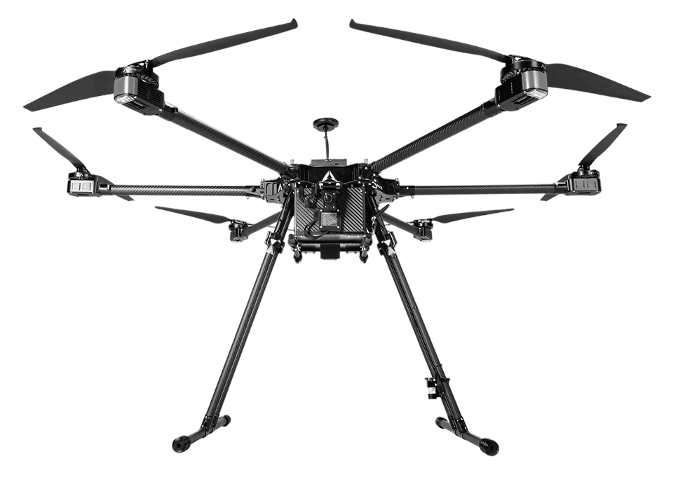
AirTower is compatible with all major UAV formats: multirotor, fixed-wing, VTOL, and tethered drones. Electric or hybrid. Lightweight or heavy-lift. Our INS kit is designed to integrate without changing your aircraft’s structure or layout.
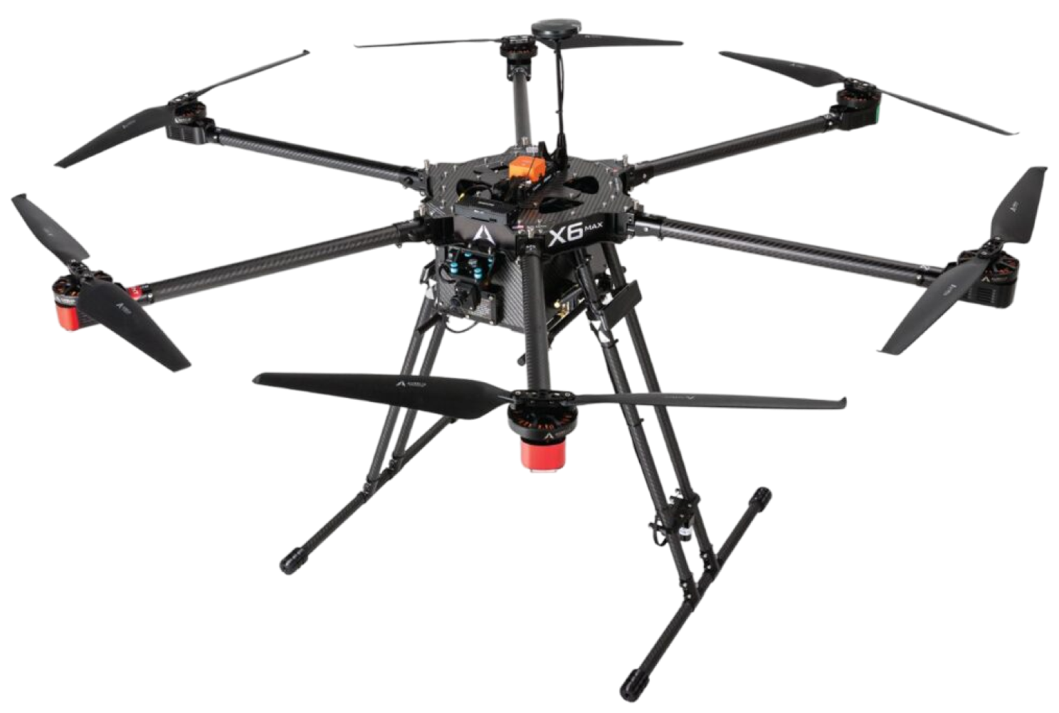
Proven performance in the field
In a recent mission using the Aurelia X6 Max platform, AirTower mode demonstrated:
- 30.88 km total flight distance
- 57 minutes of continuous operation
- 4.2 m landing accuracy after full GNSS-denied return
- 100% reliability in freezing, high-humidity, low-visibility conditions
Made to endure. Designed to perform.

Custom-fit for your payloads
Works seamlessly with comms gear, cameras, sensors, and SIGINT tools.

Power-smart performance
Operates on +5V at just 50W — ideal for long missions with multiple onboard systems.

EMI-hardened
Enclosure tested for electromagnetic resistance to ensure stability in high-interference zones.

Extreme range & reliability
Fly 62 km with sub-meter precision, even in total satellite absence.
Comparison to other non-GPS Systems
| Type | Range | Accuracy | Nature of errors |
| Inertial Navigation Systems (INS) | Short | 80% | Drift, biases, cumulative error of integration |
| Radio (eg: VOR, LORAN, TACAN) | Short | 90% | Signal interference and propagation delays |
| Landmark (optical) | Short | 95% | Environmental conditions and landmark changes |
| Magnetic | Short | 95% | Distortion by ferromagnetic, electrical currents and geological formations |
| Bavovna Al-enhanced Inertial | Long | >98% | Hybrid systems can be affected by the combined errors of the systems they integrate, especially if one system's errors are not adequately compensated by others. Using continuous ML decreases the error rate. |